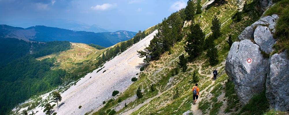
The numerous and various trails that intersect the area of the Municipality of Andrijevica can offer thousands of possibilities to get to know this region. You can choose a long trail or mountaineering that will introduce you to the most beautiful secrets of Komovi, for a classic tour or for inaccessible routes that will take you to the furthest parts of this magical mountain. There are more than 100 km of marked trails in the area of Andrijevica, and one more reason for you to visit us is the CT-1 mountain transversal which goes through our territory. Depending on the difficulty of the trail, you can set out alone, with family, friends or a guide. It is up to you to find your way in this mountain-hiking paradise.
The highest peaks of Komovi are Vasojevićki Kom – 2,461m, Kučki Kom – 2,487m and Ljevorečki Kom – 2,463m.
Viewpoints: Vasojevički Kom, Kučki Kom. One can see:
1. Bjelasica (Crna glava peak) altitude 2,139m – distance 20km
2. Hajla (Hajla peak) 2,403m – 40km
3. Bogiđevica (Žuti kamen peak) 2,522m – 38km
4. Đeravica(Đeravički peak) 2,524m – 42km
5. Prokletije (Maja e Rosit peak) 2,524m – 28km
6. Karanfil (Northern peak) 2,460m – 29km
7. Prokletije (Maja Jezercë peak) 2,694m – 24km
8. Kapa Moračka (Lastva peak) 2,226m – 38km
9. Moračke planine (Torna–Babin zub peak) 2,277m – 30km
10 . Durmitor (Bobotov kuk) 2,522m – 72km
Then there is Balj (Teferiđž peak) 1,557m, Jarinja glava 1,548m, Gradišnjica (Pobodenjak peak) 1,839m, Zeletin (Drekina kosa peak) 2,112m.
KOM Mountaineering Association – ANDRIJEVICA
E-mail: [email protected]
Tel: +382 (0)69-343-374

